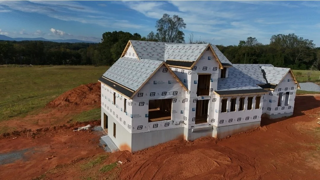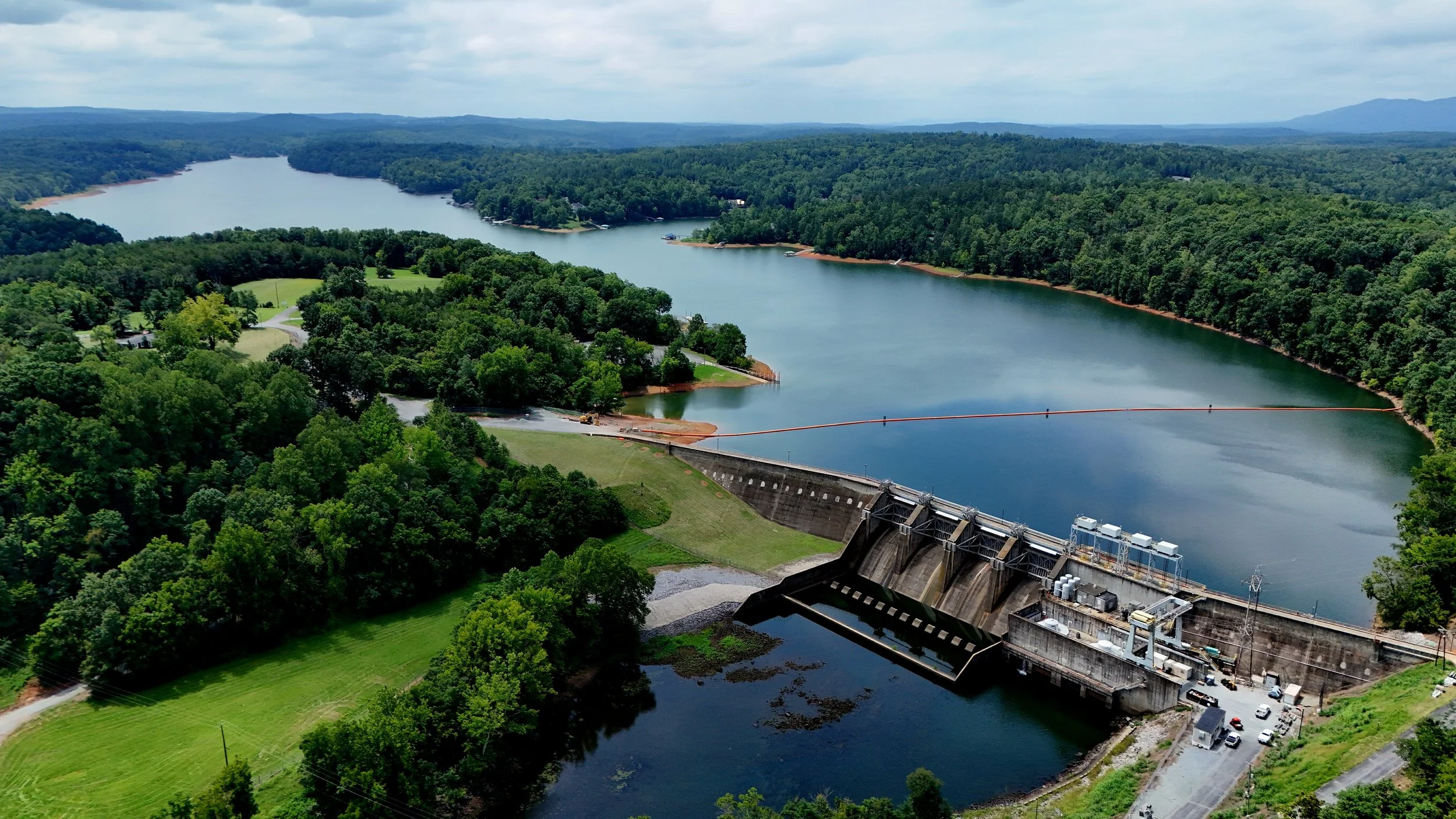
A BETTER VIEW
CHANGES EVERYTHING.
Aerial imaging, 3D digital twins, mapping and visual intelligence for properties, projects and businesses across Virginia.
Aerial perspective. Ground-level detail. Complete visual intelligence.
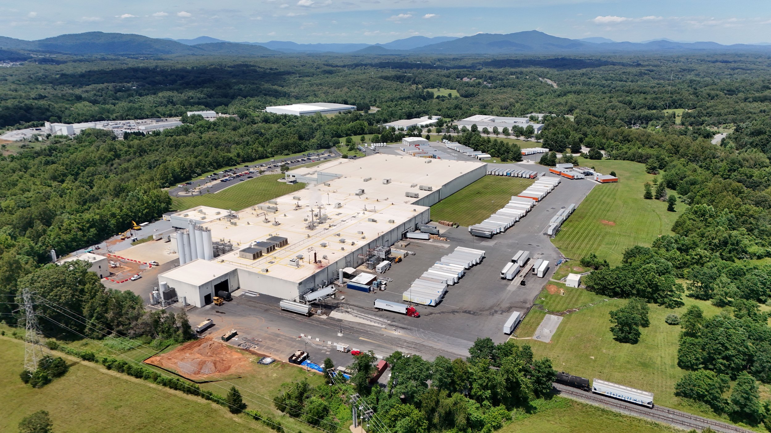
AERIAL IMAGING
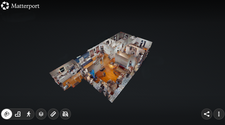
3D DIGITAL TWINS
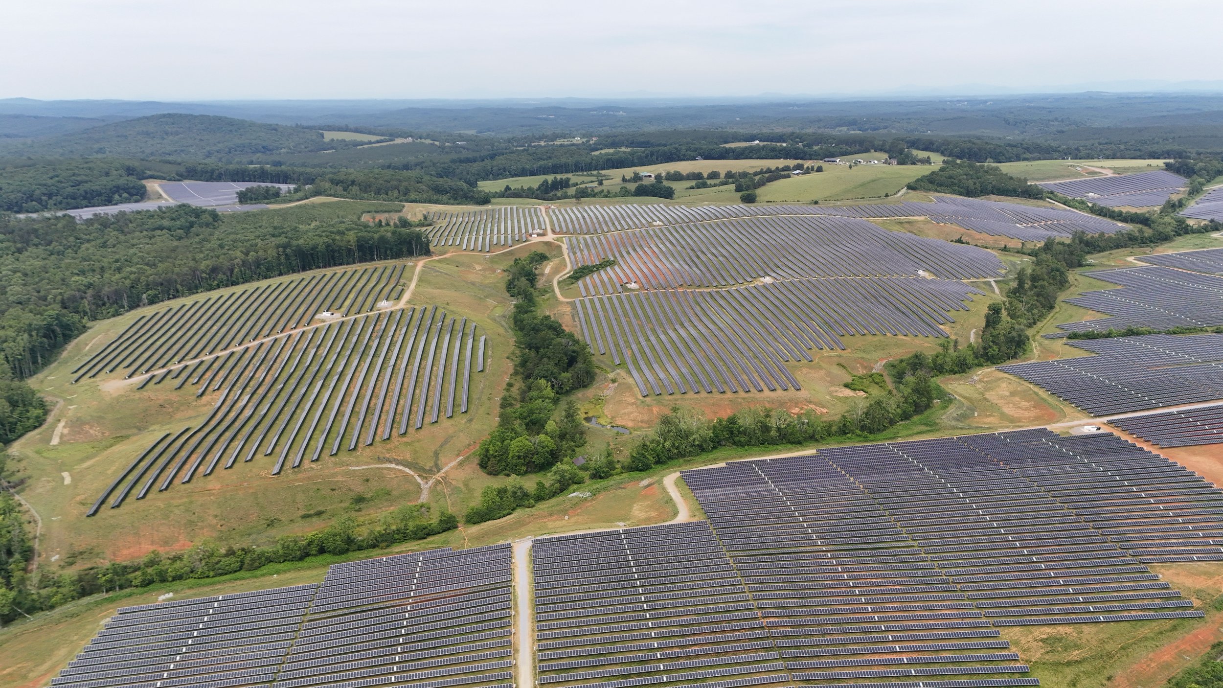
PROJECT INTELLIGENCE
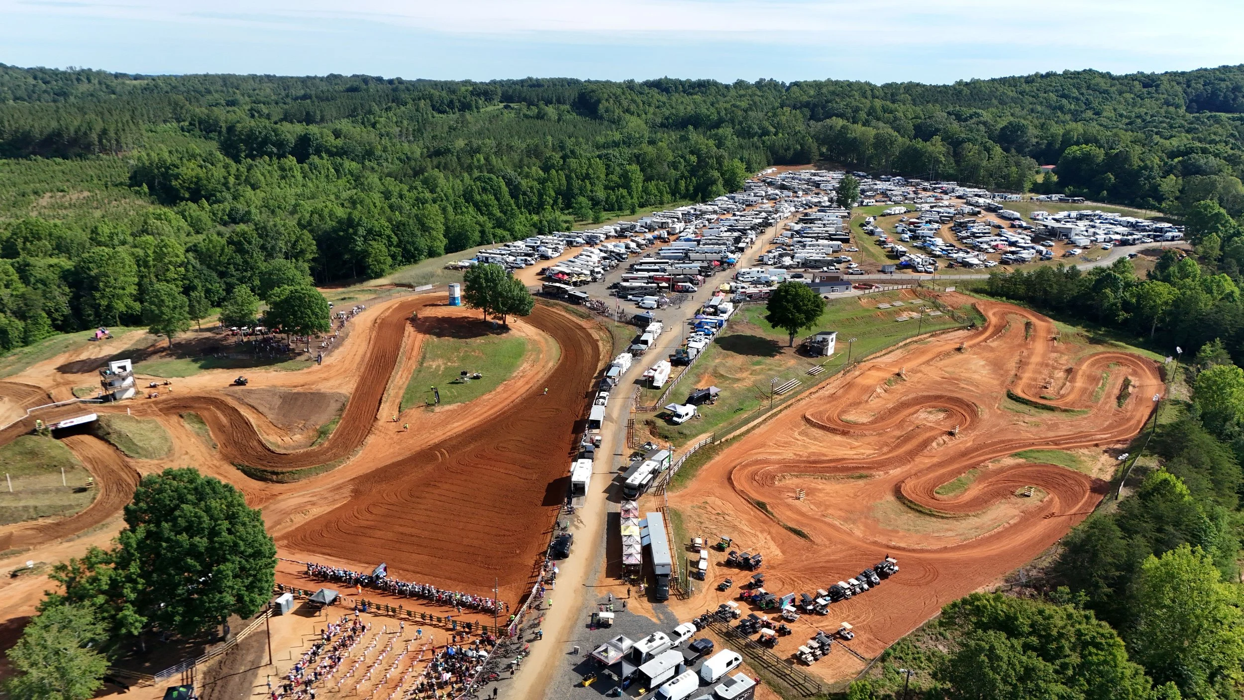
From Capture to Clarity
We don't just capture properties and projects. We turn them into visual information you can inspect, document, market and understand.
Learn More ⟶
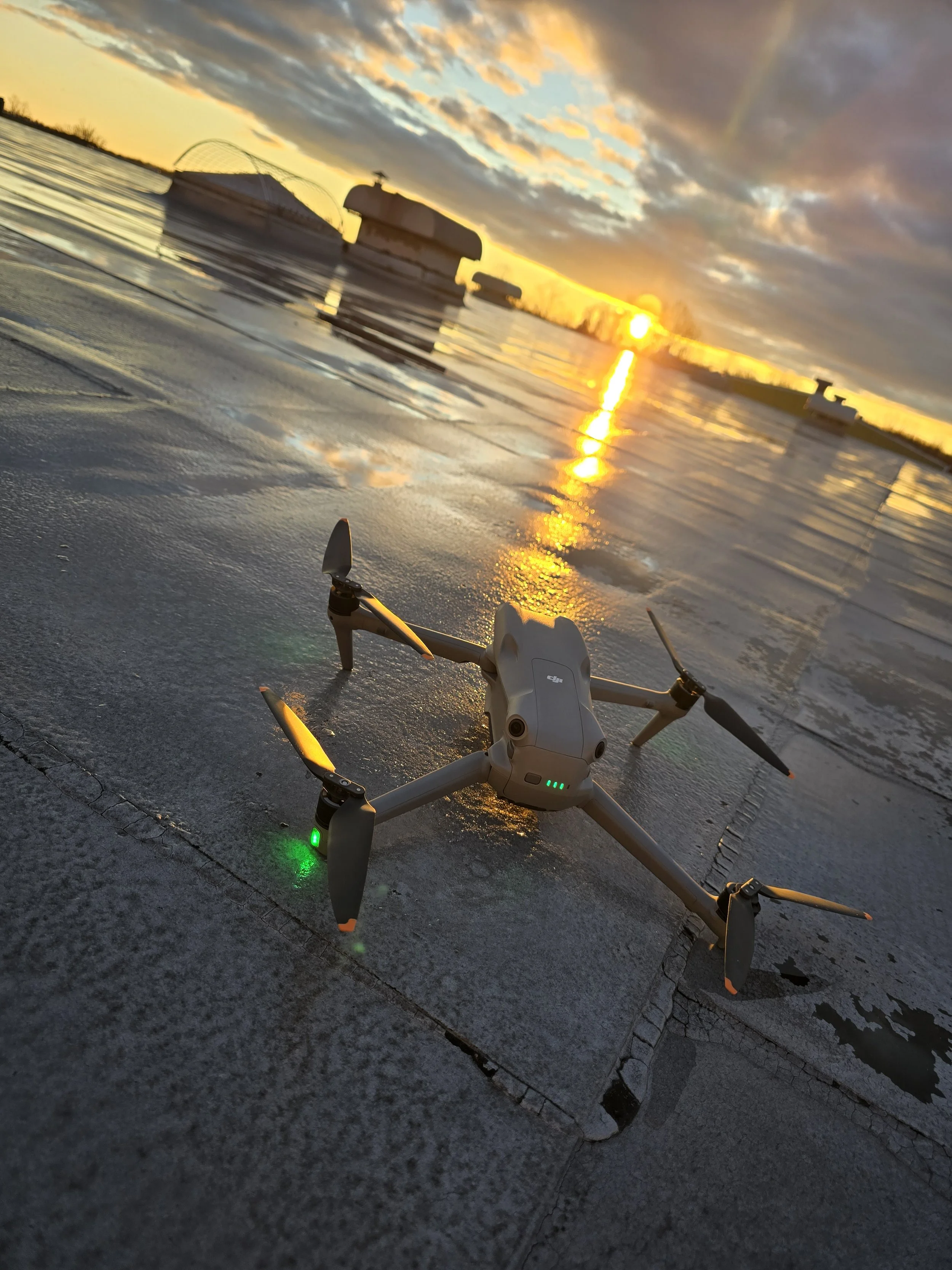
LET'S PUT IT TO WORK.
Tell us what you need to see, document, map or showcase. We'll build the right visual solution for the project.
LET’S TALK ABOUT YOUR PROJECT.
Tell us what you’re working on. Whether it’s aerial imaging, a 3D digital twin, mapping, inspection, or project documentation, give us the details and we’ll figure out the right approach.